Sustainable soil and crop management analytics

Sustainable soil and crop management analytics involves the use of data-driven tools and technologies to monitor, assess, and improve farming practices that preserve soil health, boost crop yields, and ensure long-term agricultural sustainability.

This approach combines agronomic science with modern analytics, remote sensing, IoT, and AI to make informed decisions that:

  1. Conserve soil fertility

  2. Optimize input use (fertilizer, water, etc.)

  3. Minimize environmental impact

  4. Enhance food security

Sustainable soil and crop management analytics

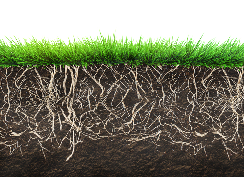
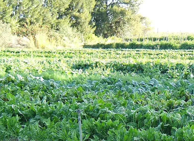
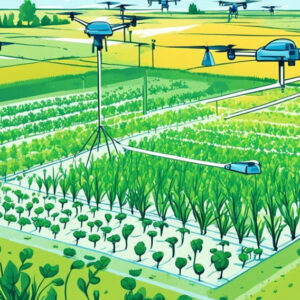
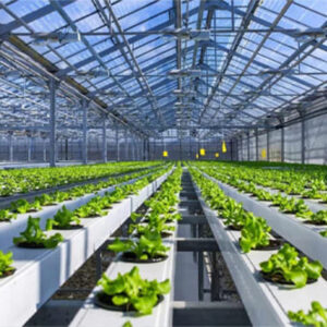
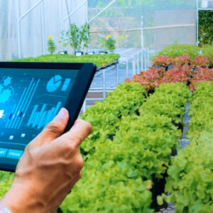
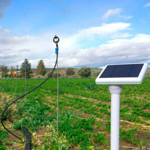
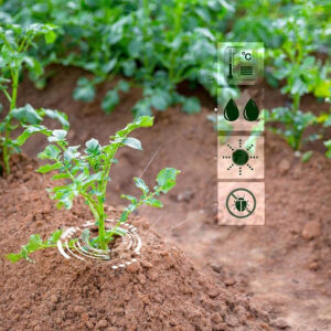
Sustainable soil and crop management is a core component of modern agriculture that ensures food security, enhances environmental resilience, and mitigates climate change. In recent years, analytics and data-driven approaches have transformed traditional farming practices into precision, predictive, and prescriptive systems. Sustainable soil and crop management analytics (SSCMA) involves the application of data science, sensor technology, machine learning, and ecological models to monitor, analyze, and optimize soil health and crop productivity while minimizing environmental impact.

Core Concepts of Sustainability in Soil and Crop Management

Sustainable Soil Management (SSM)

  • Soil Health Indicators: pH, organic matter content, microbial biomass, structure, water retention.

  • Soil Conservation Techniques: cover cropping, no-till farming, crop rotation, agroforestry.

 Sustainable Crop Management

  • Resilient Crop Varieties: drought-resistant, pest-tolerant, high-yield cultivars.

  • Integrated Pest Management (IPM): combining biological, physical, and chemical controls.

Role of Analytics in Sustainable Soil and Crop Management

Data Collection Technologies

  • Remote Sensing: Satellite imagery, UAVs/drones with multispectral and thermal sensors.

  • IoT Sensors and Field Devices: soil moisture probes, temperature sensors, pH meters.

 Data Integration and Management

  • Big Data in Agriculture: integration from heterogeneous sources (sensor, satellite, historical).

  • Geographic Information Systems (GIS): mapping and spatial analysis of field variability.