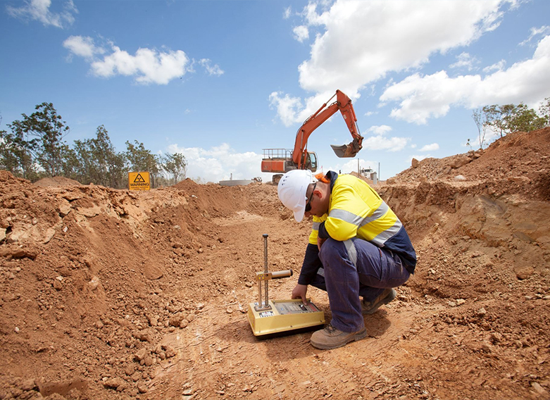
Geo-Technical Surveys are foundational investigations conducted to assess the physical, mechanical, and chemical properties of soil, rock, and groundwater in a specific area. These surveys are critical before the design and execution of construction, infrastructure, mining, or environmental projects. They ensure the safety, stability, and sustainability of structures by informing engineers and planners about the site’s sub-surface conditions.
Geo-technical surveys bridge geology and engineering, offering insights into the Earth’s surface and sub-surface features to prevent construction failures, reduce costs, and ensure regulatory compliance.
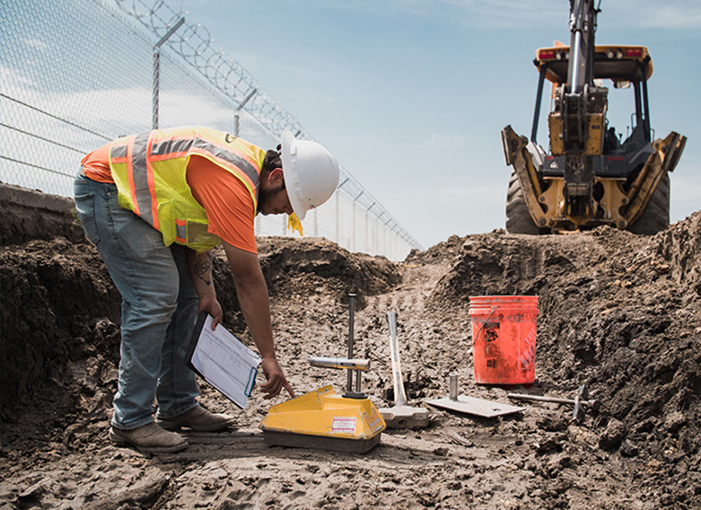
Determine soil bearing capacity and characteristics.
Geo-technical surveys are a vital component of pre-construction and environmental studies, aimed at determining the physical and mechanical characteristics of subsurface materials like soil, rock, and groundwater. These investigations help engineers and planners understand the geological conditions of a site to make informed decisions regarding the safety, design, and sustainability of infrastructure projects.
Whether constructing a bridge, tunnel, dam, or high-rise building, geo-technical surveys offer the critical data needed to prevent structural failures, reduce long-term maintenance costs, and adapt engineering solutions to the local terrain.
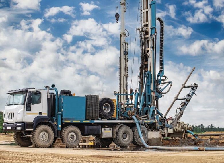
Evaluate soil bearing capacity and structural properties.