Disaster Risk Monitoring refers to the continuous process of observing, analyzing, and interpreting data and conditions that could indicate the potential for a disaster. It is a key component of disaster risk reduction (DRR) and is used to provide early warnings, guide preparedness actions, and support emergency responses.
Uses sensors, satellites, seismographs, weather stations, etc.
Exposure Analysis
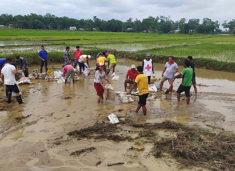
Identifying populations, infrastructure, and ecosystems that are in harm’s way.
Involves mapping and demographic data.
Disaster Risk Monitoring
Disaster Risk Monitoring is a vital aspect of disaster risk management, focusing on the continuous collection, analysis, and interpretation of data related to hazards, vulnerabilities, exposures, and capacities. It is designed to identify potential threats before they occur, provide timely early warnings, and guide decision-making processes to mitigate the impact of disasters on human life, property, and the environment.
In the face of growing climate change, urbanization, and ecological degradation, the need for robust disaster risk monitoring systems has never been more critical. The Sendai Framework for Disaster Risk Reduction 2015–2030 underscores the importance of enhancing risk monitoring and early warning systems to reduce disaster losses globally.
Conceptual Framework
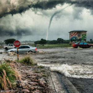
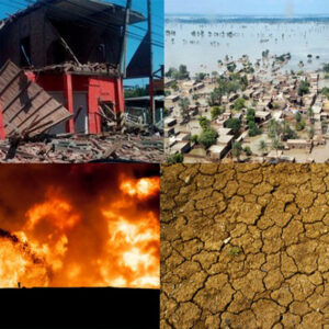
Hazard Monitoring
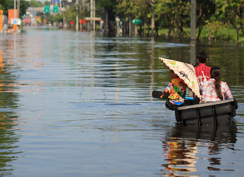
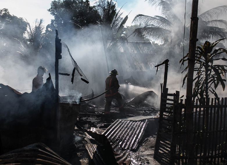
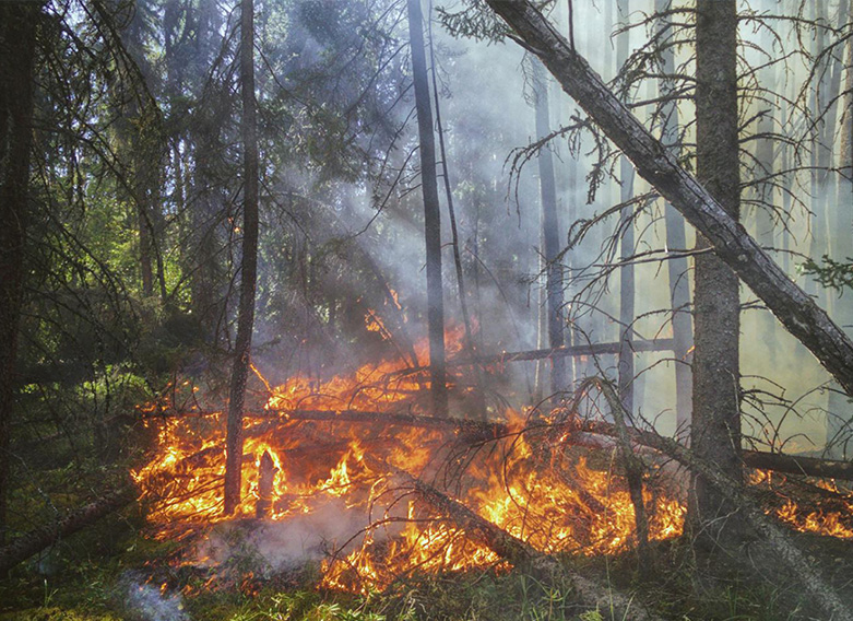
Involves identifying and tracking potentially damaging events or phenomena such as floods, earthquakes, cyclones, wildfires, landslides, and industrial accidents.
Techniques include seismic networks, meteorological observations, ocean buoys, and satellite remote sensing.
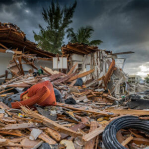
Exposure Monitoring
Assesses the physical and socio-economic assets (e.g., people, buildings, infrastructure) exposed to hazards.
GIS and population density maps are used to visualize areas at risk.
Technologies Used in Disaster Risk Monitoring
Remote Sensing and GIS
Collects spatial data for real-time hazard monitoring.
Used for flood forecasting, wildfire tracking, and post-disaster damage assessments.
Internet of Things (IoT)
Sensor networks monitor environmental parameters like temperature, humidity, and seismic activity.
Useful for early detection of changes indicating a potential hazard.
Artificial Intelligence & Machine Learning
Analyzes historical and real-time data to identify patterns and forecast disaster events.