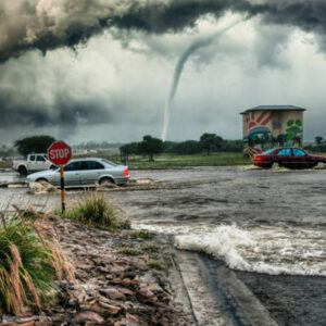
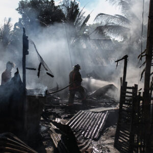
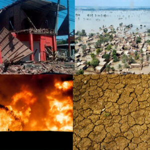
and human-induced disasters—such as floods, earthquakes, wildfires, pandemics, and industrial accidents—pose significant threats to lives, infrastructure, and economies worldwide. Traditional disaster risk identification approaches often struggle with timeliness, scale, and precision. The integration of Artificial Intelligence (AI) into disaster risk identification offers a transformative solution. By leveraging machine learning, deep learning, computer vision, NLP, and predictive analytics, AI can rapidly analyze vast, complex datasets to assess vulnerabilities, forecast hazards, and guide risk mitigation strategies.
Hazard: Probability and severity of a disaster event (e.g., cyclone, landslide).
Exposure: People, assets, or ecosystems at risk.
Vulnerability: Susceptibility of exposed elements to damage or loss.
Capacity: Resources available to prepare, respond, and recover.
AI-Enabled Disaster Risk Identification
Artificial Intelligence (AI) has emerged as a powerful tool in the field of disaster risk management. By analyzing vast and complex datasets, AI enables early detection, risk prediction, and rapid response to natural and man-made disasters. AI-enabled disaster risk identification refers to the use of intelligent algorithms and machine learning techniques to assess hazards, vulnerabilities, and exposure in order to prevent or minimize the impact of disasters.Disaster risk identification involves detecting potential hazards, analyzing vulnerability factors (such as population density or poor infrastructure), and evaluating the capacity to respond. The goal is to anticipate disasters before they happen and take proactive measures to reduce their impact.
How AI Is Used in Disaster Risk Identification
Predictive Analytics
AI models analyze historical and real-time data to predict future disasters. For instance:
Earthquake prediction through seismic data analysis.
Flood forecasting using rainfall, river level, and terrain data.
Satellite and Remote Sensing Data
AI can process images from satellites and drones to detect early signs of:
Landslides
Flooding
Benefits of AI in Disaster Risk Identification
Speed: Processes data faster than traditional methods.
Accuracy: Identifies complex patterns for better predictions.
Automation: Reduces human workload in monitoring and assessment.
Scalability: Can be used across different disaster types and regions.
Data Quality: Inaccurate or insufficient data can lead to poor predictions.
Algorithm Bias: AI may reinforce existing inequalities if trained on biased data.